- Creation-Management of Community based Protected Areas
- Bénéficiaire A ROCHA Ghana
- Montant du projet 75 200 €
- Subventions FFEM 30 000 €
-
État du projet en cours
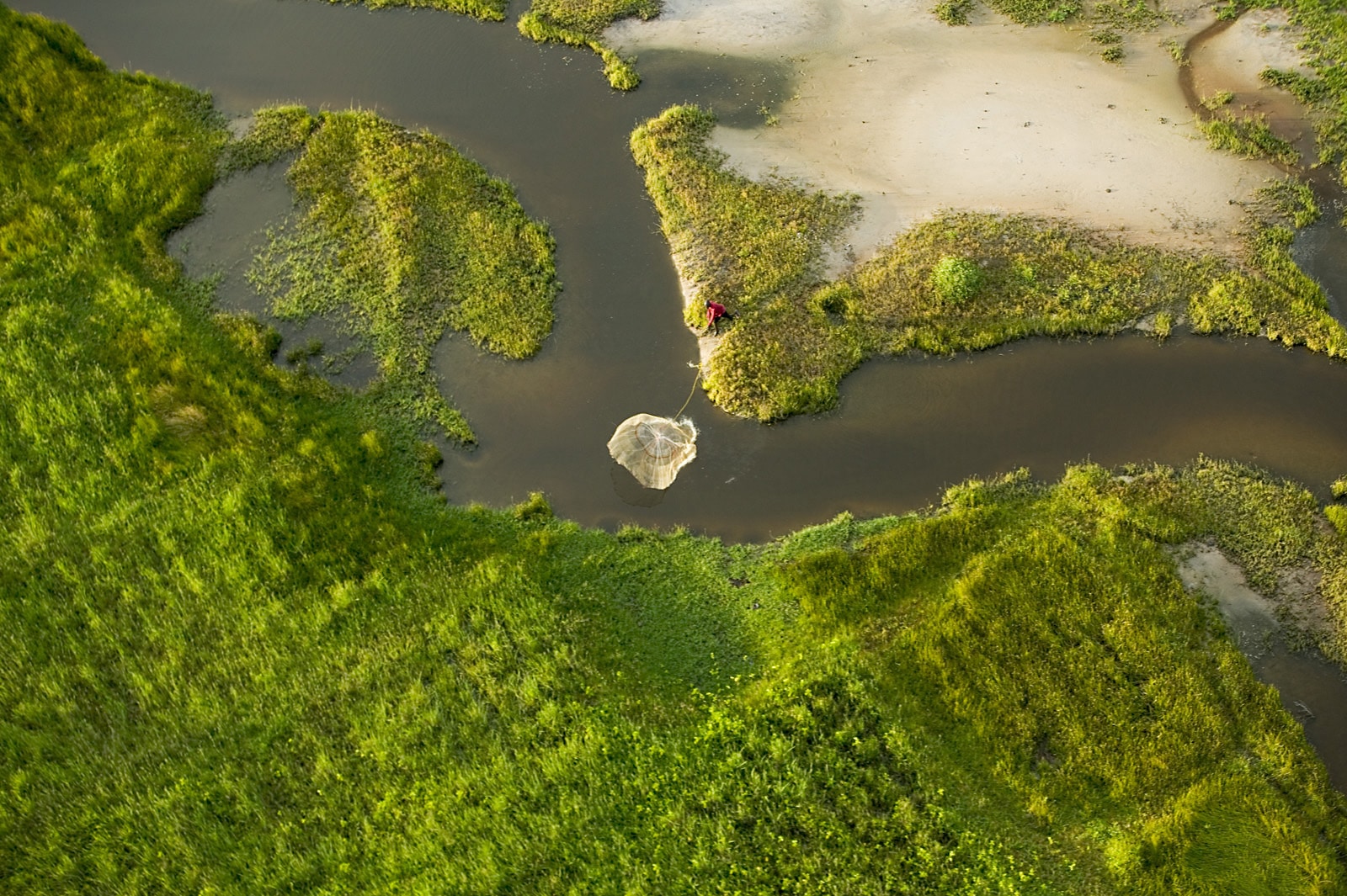
The Atewa Range Forest, located in the Eastern Region of Ghana and 90 km north of Ghana’s capital Accra, forms part of the Upper Guinean forests of West Africa. It covers an area of 23 663 ha. It is one of only two reserves with upland evergreen ecosystem forest classification in Ghana. The Atewa Forest Range, consists of a core zone designated as “Atewa Range Forest Reserve” and a surrounding buffer zone delineated at 200 m altitude. The Atewa forest reserve is fringed by over 40 communities.
The project would however, be implemented in the South-Eastern portion of the range (meaning South Eastern portion of the buffer zone) as this falls within the Densu basin and is directly affected by activities of communities downstream the basin which supplies over 3 million people in Accra with water at the Weija dam. Communities that would be engaged in the project include: Akwadum, Potroase, Obuase, Odumase, Kwasikomfo, Okanta, Amanfrom, Ayeansa, Anum Apapam, and Obuoho. The Atewa forest consists of a closed and open canopy ecosystem, grasslands and herbaceous areas. The buffer consists of cocoa and other crop plantations.
This unique forest type is home to around 656 species of vascular plants, around 63 species of mammals, 32 species of amphibian, 227 species of birds and an estimated 700 species of butterflies. This makes Atewa Forest one of the most diverse locations for butterflies in all of West Africa. Despite this high biodiversity value, the closed canopy cover of the forest has decreased by around 10% in the Forest Reserve and by at least 35% in the buffer zone around the reserve in the last twenty years. These changes have primarily been caused by illegal farm expansion, mainly for tree crops, and by timber extraction. Gold mining is another notable factor that has contributed to this level of degradation around the reserve. It is however, worth noting that in since the first quarter 2017 due to the government moratorium on a halt to illegal and small scale mining activities in the country, most of the illegal miners are packing out of the landscape thus providing an opportunity to restoration interventions to be undertaken.
The proposed project would seek to address challenges with governance, management as well as improvement of traditional livelihood options notably within the cocoa sector of the Atewa landscape. The project would set up the basic governance structure of the Community Resource Management Area (CREMA) approach which are the Community Resource Management Committee (CRMC) and the CREMA Executive Committee (CEC). As mining, has contributed to degrading the landscape, the project would also support the management of the landscape by communities to restore degraded lands on both farms and old mine sites.
The project would also engage farmers through the introduction of agricultural best practices (ABP) such as conservation agriculture to enhance their yields as there have been reports of low yields due to the effects of climate change. Cocoa has been identified as the main cash crop within the landscape. However, farmers are not maximising the opportunities cocoa production offers as they are only dependent on conventional value chain that do not provide maximum benefits. To improve the livelihood of cocoa farmers in beneficiary communities, the project would introduce innovations notably cocoa agroforestry (an integration of trees into cocoa farms) which is currently being encouraged by the Cocoa Research Institute of Ghana (CRIG) and also organic cocoa production which offers additional income from premiums paid.